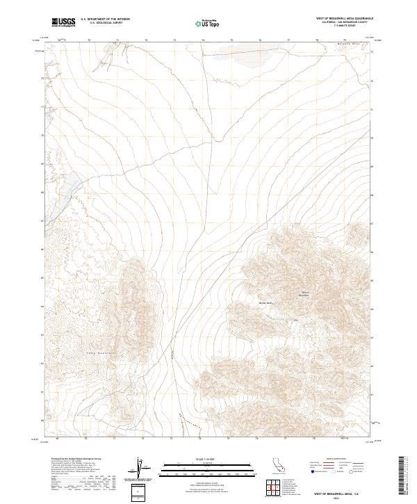
2021 Map of West of Broadwell Mesa
USGS Topo · Published 2021About this map
The Mojave Desert landscape dominates this 2021 survey, where the convergence of several major landforms creates a distinct topographical profile. The southern reaches of the Mesquite Hills descend from the north into a broad alluvial plain, while the northeastern edge of the Cady Mountains and the western slopes of the Bristol Mountains frame the lower half of the quadrangle. This area serves as a primary drainage corridor, notably evidenced by the winding path of the Hidden Valley Wash as it moves through the desert floor.
Find a feature on this map
12 named features on this map. Tap any name to fly to it.
Don’t see what you’re looking for? This feature index may not catch every label — zoom into the map to look around manually.
Map Details
Editions of this 2021 West of Broadwell Mesa Map
This is the sole edition of this map. No revisions or reprints were ever made.
Other maps of this area

1933 · Avawatz Mountains
USGS Topo · 1:250,000

1947 · Trona
USGS Topo · 1:250,000

1948 · Trona
USGS Topo · 1:250,000

1948 · Cave Mountain
USGS Topo · 1:62,500

1951 · Cave Mountain
USGS Topo · 1:62,500

1953 · San Bernardino
USGS Topo · 1:250,000

1953 · Trona
USGS Topo · 1:250,000

1955 · Cady Mountains
USGS Topo · 1:62,500

1955 · Broadwell Lake
USGS Topo · 1:62,500

1956 · San Bernardino
USGS Topo · 1:250,000