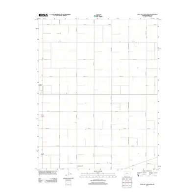
2012 Map of West of Copeland
USGS Topo · Published 2012About this map
Agricultural grid lines and vast open spaces define this section of Haskell County. The Sublette Flying Club Airport sits at the southern edge of the quadrangle, serving as a key navigation point in a landscape primarily organized by a rigid system of county roads. These thoroughfares, including Co Road NN, Co Road OO, and Co Road PP, divide the territory into the large, uniform sections typical of the High Plains' ranching and farming economy. A notable linear feature, the Co Road Railroad, cuts through the eastern portion of the sheet, tracing the path of early 21st-century commerce and transportation in western Kansas. The sparse distribution of buildings and specialized infrastructure highlights the region's focus on large-scale land use and aviation during this era.
Find a feature on this map
15 named features on this map. Tap any name to fly to it.
Don’t see what you’re looking for? This feature index may not catch every label — zoom into the map to look around manually.
Map Details
Editions of this 2012 West of Copeland Map
This is the sole edition of this map. No revisions or reprints were ever made.
Other maps of this area

1896 · Garden
USGS Topo · 1:125,000

1955 · Dodge City
USGS Topo · 1:250,000

1958 · Dodge City
USGS Topo · 1:250,000

1959 · Dodge City
USGS Topo · 1:250,000

1959 · Garden City 3 NW
USGS Topo · 1:24,000

1959 · Garden City 3 NE
USGS Topo · 1:24,000

1960 · Garden City 3 SW
USGS Topo · 1:24,000

1960 · Garden City 3 SE
USGS Topo · 1:24,000

1968 · Plains NW
USGS Topo · 1:24,000
1968 · Satanta
USGS Topo · 1:24,000