
1983 Map of West of Hampton
USGS Topo · Published 1983About this map
The high desert landscape where Deschutes and Crook counties meet is defined by prominent volcanic rises and ephemeral water sources. The Hampton Buttes dominate the northeast corner of the sheet, with Lizard and Cougar Butte marking the elevated terrain. Below these heights, the land spreads into broad flats such as Shannon Flat, where drainage is primarily internal. This is evidenced by numerous occurrences of Dry Lake and specialized water catchments like Channel Waterhole, Hump Waterhole, and Rock Break Waterholes.
Find a feature on this map
21 named features on this map. Tap any name to fly to it.
Don’t see what you’re looking for? This feature index may not catch every label — zoom into the map to look around manually.
Map Details
Editions of this 1983 West of Hampton Map
This is the sole edition of this map. No revisions or reprints were ever made.
Other maps of this area

1955 · Crescent
USGS Topo · 1:250,000

1957 · Crescent
USGS Topo · 1:250,000

1958 · Crescent
USGS Topo · 1:250,000

1970 · Crescent
USGS Topo · 1:250,000

1983 · Potato Lake
USGS Topo · 1:24,000

1983 · Hampton Butte
USGS Topo · 1:24,000

1983 · Imperial Valley South
USGS Topo · 1:24,000

1983 · Benjamin Lake
USGS Topo · 1:24,000
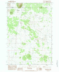
1983 · Frederick Butte
USGS Topo · 1:24,000
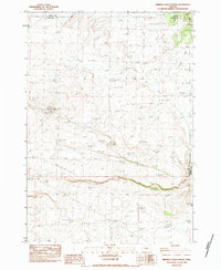
1983 · Imperial Valley North
USGS Topo · 1:24,000