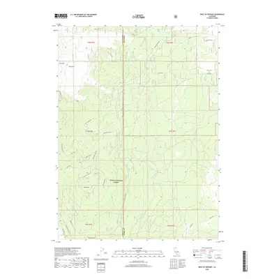
2018 Map of West of Kephart
USGS Topo · Published 2018About this map
Modoc National Forest dominates this volcanic landscape along the Siskiyou and Modoc County border. The terrain is defined by dramatic geologic features, including the obsidian-rich Glass Mountain and its expansive Glass Flow to the north. This high-altitude region is heavily forested and crisscrossed by a network of specialized routes such as the Medicine Lake Hwy and South Connector. The prominence of features like Black Mountain and Border Mountain suggests a landscape shaped by significant relief and primitive access. For researchers, the map details numerous forest spurs and landings, including Black Mtn Spur and Lost Loop, illustrating the timber and recreation infrastructure of the late 2010s. Named areas like White King and Whitehorse point to specific localized landmarks within the timbered tracts, while Mud Flats in the southeast corner provides a break in the otherwise varied topography.
Find a feature on this map
32 named features on this map. Tap any name to fly to it.
Don’t see what you’re looking for? This feature index may not catch every label — zoom into the map to look around manually.
Map Details
Editions of this 2018 West of Kephart Map
This is the sole edition of this map. No revisions or reprints were ever made.
Other maps of this area

1886 · Modoc Lava Bed
USGS Topo · 1:250,000

1892 · Modoc Lava-Bed
USGS Topo · 1:250,000

1932 · Bartle
USGS Topo · 1:96,000

1939 · Bartle
USGS Topo · 1:125,000

1952 · Timber Mountain
USGS Topo · 1:62,500

1952 · Medicine Lake
USGS Topo · 1:62,500

1954 · Alturas
USGS Topo · 1:250,000

1958 · Alturas
USGS Topo · 1:250,000

1961 · Hambone
USGS Topo · 1:62,500

1962 · Alturas
USGS Topo · 1:250,000