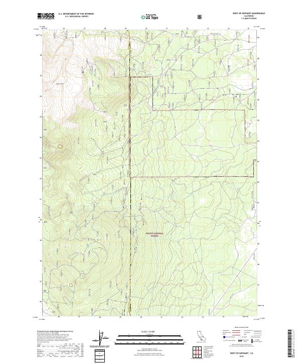
2022 Map of West of Kephart
USGS Topo · Published 2022About this map
The high volcanic plateau of northern California defines this section of the Modoc National Forest, where the border between Siskiyou and Modoc counties runs through a landscape of lava and peaks. Prominent volcanic features like the Glass Flow and high points such as Lyons Peak and Black Mtn dominate the terrain. This is a region of sparse infrastructure, characterized by a network of specialized routes including the Medicine Lake Hwy, the South Connector, and winding paths like Lost Loop. The mapping of areas like Mud Flats alongside these high-altitude peaks illustrates the complex hydrology and geography of the volcanic Cascades, providing a technical look at the timber and recreation lands in the early 21st century.
Find a feature on this map
16 named features on this map. Tap any name to fly to it.
Don’t see what you’re looking for? This feature index may not catch every label — zoom into the map to look around manually.
Map Details
Editions of this 2022 West of Kephart Map
This is the sole edition of this map. No revisions or reprints were ever made.
Other maps of this area

1886 · Modoc Lava Bed
USGS Topo · 1:250,000

1892 · Modoc Lava-Bed
USGS Topo · 1:250,000

1932 · Bartle
USGS Topo · 1:96,000

1939 · Bartle
USGS Topo · 1:125,000

1952 · Timber Mountain
USGS Topo · 1:62,500

1952 · Medicine Lake
USGS Topo · 1:62,500

1954 · Alturas
USGS Topo · 1:250,000

1958 · Alturas
USGS Topo · 1:250,000

1961 · Hambone
USGS Topo · 1:62,500

1962 · Alturas
USGS Topo · 1:250,000