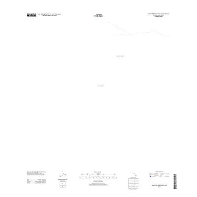
2013 Map of West of Kokoolau
USGS Topo · Published 2013About this map
Lava Flow of 1859 dominates the volcanic landscape of this portion of the Island of Hawaiși. This 2013 survey provides a stark representation of the geologic history on the island, tracing the path of one of its most significant historical eruptions. The map is largely defined by the absence of human infrastructure, focusing instead on the physical boundaries and contours of the lava field. This focus makes it a specialized resource for those studying the progression of historical volcanic events and the evolving terrain of the Big Island.
Find a feature on this map
2 named features on this map. Tap any name to fly to it.
Don’t see what you’re looking for? This feature index may not catch every label — zoom into the map to look around manually.
Map Details
Editions of this 2013 West of Kokoolau Map
This is the sole edition of this map. No revisions or reprints were ever made.
Other maps of this area

1927 · Kaohe
USGS Topo · 1:62,500

1928 · Kailua
USGS Topo · 1:62,500

1928 · Mauna Loa
USGS Topo · 1:62,500

1930 · Kaohe
USGS Topo · 1:62,500

1954 · Hawaii South
USGS Topo · 1:250,000

1954 · Hawaii North
USGS Topo · 1:250,000

1956 · Puu Koli
USGS Topo · 1:24,000

1956 · Puu O Uo
USGS Topo · 1:24,000
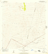
1956 · Kokoolau
USGS Topo · 1:24,000

1956 · Naohueleelua
USGS Topo · 1:24,000