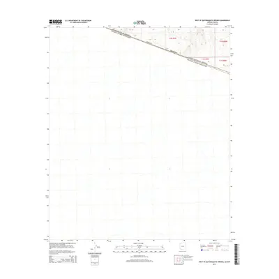
2014 Map of West of Quitobaquito Springs
USGS Topo · Published 2014About this map
The United States of America Estados Unidos Mexicanos international boundary cuts diagonally across the northern portion of this map, marking the high-desert divide between Pima Co, Arizona, and the Mexican state of Sonora. The landscape below the border is characterized by a dense network of ephemeral desert washes and alluvial fans that flow southward across the open terrain. This survey provides a precise look at the geopolitical line and the drainage patterns of the borderlands during the early 21st century. While the sheet is primarily focused on the topographic and hydrographic features of the desert floor, it clearly delineates the township and range divisions of the Pima Co region, illustrating the formal structure of the American public land system as it meets the international frontier.
Find a feature on this map
7 named features on this map. Tap any name to fly to it.
Don’t see what you’re looking for? This feature index may not catch every label — zoom into the map to look around manually.
Map Details
Editions of this 2014 West of Quitobaquito Springs Map
This is the sole edition of this map. No revisions or reprints were ever made.
Other maps of this area

1953 · Ajo
USGS Topo · 1:250,000

1954 · Sonoyta
USGS Topo · 1:250,000

1957 · Ajo
USGS Topo · 1:250,000

1958 · Ajo
USGS Topo · 1:250,000

1962 · Ajo
USGS Topo · 1:250,000

1963 · Ajo
USGS Topo · 1:250,000

1963 · Quitobaquito Springs
USGS Topo · 1:62,500

1963 · Lukeville
USGS Topo · 1:250,000
1964 · Agua Dulce Mts
USGS Topo · 1:62,500

1965 · O'Neill Hills
USGS Topo · 1:62,500