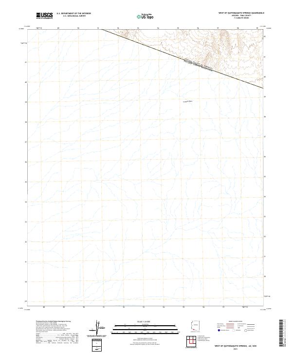
2021 Map of West of Quitobaquito Springs
USGS Topo · Published 2021About this map
La Abra Plain dominates this landscape, a sweeping expanse of alluvial desert situated along the international border between Pima County and Sonora. The boundary, marked as the United States of America Estados Unidos Mexicanos, cuts diagonally across the northern portion of the sheet. The terrain is characterized by a complex network of ephemeral desert washes that drain south across the border, revealing the natural hydrology of this arid region. Surveyed by the U.S. Geological Survey, the map provides a precise view of the Public Land Survey System divisions, including t16s r9w and t17s r9w, which help orient researchers to the township and range grid in this sparsely populated desert frontier.
Find a feature on this map
6 named features on this map. Tap any name to fly to it.
Don’t see what you’re looking for? This feature index may not catch every label — zoom into the map to look around manually.
Map Details
Editions of this 2021 West of Quitobaquito Springs Map
This is the sole edition of this map. No revisions or reprints were ever made.
Other maps of this area

1953 · Ajo
USGS Topo · 1:250,000

1954 · Sonoyta
USGS Topo · 1:250,000

1957 · Ajo
USGS Topo · 1:250,000

1958 · Ajo
USGS Topo · 1:250,000

1962 · Ajo
USGS Topo · 1:250,000

1963 · Ajo
USGS Topo · 1:250,000

1963 · Quitobaquito Springs
USGS Topo · 1:62,500

1963 · Lukeville
USGS Topo · 1:250,000
1964 · Agua Dulce Mts
USGS Topo · 1:62,500

1965 · O'Neill Hills
USGS Topo · 1:62,500