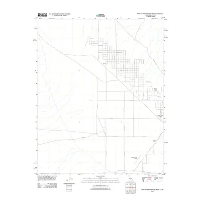
2012 Map of West of Shenandoah Peak
USGS Topo · Published 2012About this map
Sandy Valley sits at a crossroads of aviation and desert grid planning in this early twenty-first-century survey. The landscape is defined by an extensive, nearly uniform street grid that stretches across the arid terrain, with thoroughfares bearing mineral-themed names such as Borax Ave, Coal Ave, Copper Ave, and Diamond Ave. These labels hint at the region's geological and prospecting history, even as the map focuses on modern residential and logistical layouts.
Find a feature on this map
51 named features on this map. Tap any name to fly to it.
Don’t see what you’re looking for? This feature index may not catch every label — zoom into the map to look around manually.
Map Details
Editions of this 2012 West of Shenandoah Peak Map
This is the sole edition of this map. No revisions or reprints were ever made.
Other maps of this area

1910 · Ivanpah
USGS Topo · 1:250,000

1912 · Ivanpah
USGS Topo · 1:250,000

1942 · Ivanpah
USGS Topo · 1:250,000

1947 · Kingman
USGS Topo · 1:250,000

1948 · Kingman
USGS Topo · 1:250,000

1954 · Kingman
USGS Topo · 1:250,000

1955 · Kingman
USGS Topo · 1:250,000

1955 · Kingston Peak
USGS Topo · 1:62,500

1956 · Clark Mountain
USGS Topo · 1:62,500

1956 · Shenandoah Peak
USGS Topo · 1:62,500