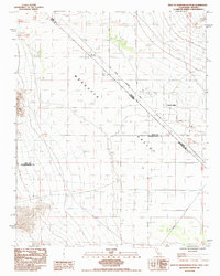
1985 Map of West of Shenandoah Peak
USGS Topo · Published 1985About this map
Mesquite Valley serves as the central landscape of this 1985 survey, where the borders of California and Nevada meet along the historic Von Schmidt Boundary. This high desert basin is defined by its intersection of three major county lines—Inyo, San Bernardino, and Clark—mapping a quiet frontier where settlement is concentrated around Sandy Valley. The grid of the desert floor is punctuated by specialized infrastructure, including a Dirt Airstrip and a Radio Facility, reflecting the utility of this arid terrain for aviation and communication.
Find a feature on this map
13 named features on this map. Tap any name to fly to it.
Don’t see what you’re looking for? This feature index may not catch every label — zoom into the map to look around manually.
Map Details
Editions of this 1985 West of Shenandoah Peak Map
This is the sole edition of this map. No revisions or reprints were ever made.
Other maps of this area

1910 · Ivanpah
USGS Topo · 1:250,000

1912 · Ivanpah
USGS Topo · 1:250,000

1942 · Ivanpah
USGS Topo · 1:250,000

1947 · Kingman
USGS Topo · 1:250,000

1948 · Kingman
USGS Topo · 1:250,000

1954 · Kingman
USGS Topo · 1:250,000

1955 · Kingman
USGS Topo · 1:250,000

1955 · Kingston Peak
USGS Topo · 1:62,500

1956 · Clark Mountain
USGS Topo · 1:62,500

1956 · Shenandoah Peak
USGS Topo · 1:62,500