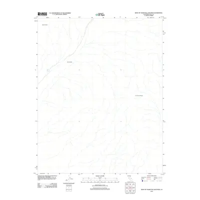
2012 Map of West of Teakettle Junction
USGS Topo · Published 2012About this map
Upper Warm Spring emerges in the transition between the high desert peaks and the deep basin floor, serving as a rare hydrological point in this arid reach of Inyo County. The landscape is defined by the massive tectonic depression of Saline Valley, which is hemmed in by the towering Saline Range to the northwest and the Last Chance Range to the east. This 2012 survey illustrates the stark geomorphology of one of the most isolated parts of California, where drainage patterns fan out across the valley floor from the surrounding mountain fronts. The absence of developed roads or permanent settlements highlights the wilderness character of this region, preserving a desert environment where seasonal water sources like the spring remain the most critical landmarks for anyone navigating the basin.
Find a feature on this map
4 named features on this map. Tap any name to fly to it.
Don’t see what you’re looking for? This feature index may not catch every label — zoom into the map to look around manually.
Map Details
Editions of this 2012 West of Teakettle Junction Map
This is the sole edition of this map. No revisions or reprints were ever made.
Other maps of this area

1908 · Ballarat
USGS Topo · 1:250,000

1913 · Ballarat
USGS Topo · 1:250,000

1948 · Death Valley
USGS Topo · 1:250,000

1950 · New York Butte
USGS Topo · 1:62,500

1950 · Ubehebe Peak
USGS Topo · 1:62,500

1951 · New York Butte
USGS Topo · 1:62,500

1951 · Ubehebe Peak
USGS Topo · 1:62,500

1951 · Waucoba Wash
USGS Topo · 1:62,500

1954 · Death Valley
USGS Topo · 1:250,000

1956 · Death Valley
USGS Topo · 1:250,000