2018 Map of West of Wahak Hotrontk
USGS Topo · Published 2018About this map
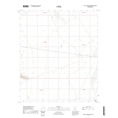
Hickiwan Wash and San Simon Wash define the drainage patterns across this desert landscape in western Pima County. The terrain is characterized by the low elevations of the Quijotoa Valley to the southeast and the rising contours of the Gunsight Hills in the west. These natural corridors have long influenced movement through the region, as evidenced by the route of Indian Rte 17, which cuts north-south across the alluvial plains. This 2018 survey provides a precise look at the township and range divisions, showing the survey lines of t14s r2w and its neighbors that segment this part of the Tohono O'odham Nation territory. The sparse infrastructure emphasizes the reliance on seasonal washes and established desert routes for navigation and resource management.
Find a feature on this map
11 named features on this map. Tap any name to fly to it.
Don’t see what you’re looking for? This feature index may not catch every label — zoom into the map to look around manually.
Map Details
Editions of this 2018 West of Wahak Hotrontk Map
This is the sole edition of this map. No revisions or reprints were ever made.
Other maps of this area

1953 · Ajo
USGS Topo · 1:250,000

1957 · Ajo
USGS Topo · 1:250,000

1958 · Ajo
USGS Topo · 1:250,000

1962 · Ajo
USGS Topo · 1:250,000

1963 · Ajo
USGS Topo · 1:250,000

1963 · Sikort Chuapo Mts
USGS Topo · 1:62,500

1963 · Mt. Ajo
USGS Topo · 1:62,500

1963 · Cimarron Peak
USGS Topo · 1:62,500

1963 · Pisinimo
USGS Topo · 1:62,500

1967 · Ajo
USGS Topo · 1:250,000