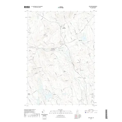
2021 Map of West Paris
USGS Topo · Published 2021About this map
West Paris and the winding course of the Little Androscoggin River define the local geography of this Oxford County region. The map reveals a high concentration of burial grounds that reflect the area's genealogical depth, including the Finnish Cem and Wayside Cem near the town center, and more remote plots like Richardson Hollow Cem and Bacon Paine Cem. These sites, often positioned on hillsides or near early farmsteads, provide vital links for those tracing family history in the foothills of the western Maine mountains.
Find a feature on this map
115 named features on this map. Tap any name to fly to it.
Don’t see what you’re looking for? This feature index may not catch every label — zoom into the map to look around manually.
Map Details
Editions of this 2021 West Paris Map
This is the sole edition of this map. No revisions or reprints were ever made.
Other maps of this area

1896 · Norway
USGS Topo · 1:62,500

1908 · Poland
USGS Topo · 1:62,500

1911 · Bryant Pond
USGS Topo · 1:62,500

1911 · Buckfield
USGS Topo · 1:62,500

1913 · Buckfield
USGS Topo · 1:62,500

1914 · Bryant Pond
USGS Topo · 1:62,500

1940 · Poland
USGS Topo · 1:62,500

1942 · Buckfield
USGS Topo · 1:62,500

1942 · Bryant Pond
USGS Topo · 1:62,500

1942 · Poland
USGS Topo · 1:62,500