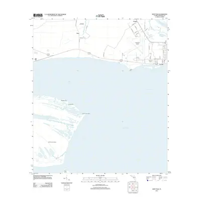
2012 Map of West Pass
USGS Topo · Published 2012About this map
Saint Vincent Island dominates the western half of this coastal survey, where the barrier island’s intricate wetland network includes Big Bayou, Back Slough, and Oyster Pond. The island’s north shore at Paradise Point faces the protected waters of Saint Vincent Sound, while the southern reaches taper toward West Pass and the isolated Sand Island. This landscape illustrates the delicate transition between the open Gulf of Mexico and the brackish interior waterways of the Florida Panhandle.
Find a feature on this map
48 named features on this map. Tap any name to fly to it.
Don’t see what you’re looking for? This feature index may not catch every label — zoom into the map to look around manually.
Map Details
Editions of this 2012 West Pass Map
This is the sole edition of this map. No revisions or reprints were ever made.
Other maps of this area

1943 · West Pass
USGS Topo · 1:31,680

1943 · Apalachicola
USGS Topo · 1:31,680

1943 · Indian Pass
USGS Topo · 1:24,000

1943 · Jackson River
USGS Topo · 1:24,000

1944 · Apalachicola
USGS Topo · 1:24,000

1945 · Cape St. George
USGS Topo · 1:31,680

1945 · Lake Wimico
USGS Topo · 1:31,680

1945 · Beverly
USGS Topo · 1:31,680

1945 · Jackson River
USGS Topo · 1:31,680

1945 · Indian Pass
USGS Topo · 1:31,680