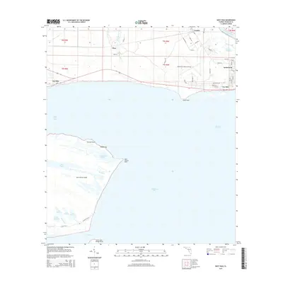
2015 Map of West Pass
USGS Topo · Published 2015About this map
Saint Vincent Island dominates the western portion of this coastal survey, where the primitive Central Trail winds past a series of numbered ponds including Lake Number 1 and Lake Number 4 toward the southern shore. Across the waters of Saint Vincent Sound, the mainland transitions from the commercial activity at the Apalachicola Regional Airport to the historic port city of Apalachicola.
Find a feature on this map
60 named features on this map. Tap any name to fly to it.
Don’t see what you’re looking for? This feature index may not catch every label — zoom into the map to look around manually.
Map Details
Editions of this 2015 West Pass Map
This is the sole edition of this map. No revisions or reprints were ever made.
Other maps of this area

1943 · West Pass
USGS Topo · 1:31,680

1943 · Apalachicola
USGS Topo · 1:31,680

1943 · Indian Pass
USGS Topo · 1:24,000

1943 · Jackson River
USGS Topo · 1:24,000

1944 · Apalachicola
USGS Topo · 1:24,000

1945 · Cape St. George
USGS Topo · 1:31,680

1945 · Lake Wimico
USGS Topo · 1:31,680

1945 · Beverly
USGS Topo · 1:31,680

1945 · Jackson River
USGS Topo · 1:31,680

1945 · Indian Pass
USGS Topo · 1:31,680