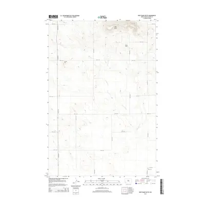
2014 Map of West Rainy Butte
USGS Topo · Published 2014About this map
West Rainy Butte and Rainy Butte rise prominently above the surrounding high plains of Slope County, anchoring a landscape defined by traditional ranching and a sparse, grid-based road network. In the southeast corner, the DeSart Cem remains as a critical landmark for genealogists tracing early settlement in this part of North Dakota. The drainage of Chanta Peta Cr winds south through the center of the sheet, providing the primary topographic relief in an area otherwise characterized by long, straight sections of rural roads like 132nd Ave SW and 65th St SW. The presence of Prairie Hill further north reflects the undulating but largely open nature of this prairie terrain during the early 21st century.
Find a feature on this map
19 named features on this map. Tap any name to fly to it.
Don’t see what you’re looking for? This feature index may not catch every label — zoom into the map to look around manually.
Map Details
Editions of this 2014 West Rainy Butte Map
This is the sole edition of this map. No revisions or reprints were ever made.
Other maps of this area

1953 · Dickinson
USGS Topo · 1:250,000

1957 · Dickinson
USGS Topo · 1:250,000

1961 · Daglum
USGS Topo · 1:62,500

1973 · White Lake
USGS Topo · 1:24,000

1973 · Warnke Hill
USGS Topo · 1:24,000

1973 · Mineral Springs
USGS Topo · 1:24,000

1973 · Cedar Lake
USGS Topo · 1:24,000

1973 · West Rainy Butte
USGS Topo · 1:24,000

1973 · East Rainy Butte
USGS Topo · 1:24,000

1973 · New England SW
USGS Topo · 1:24,000