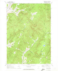
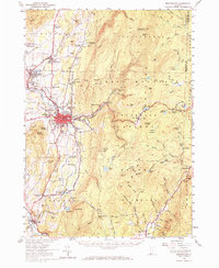
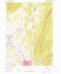
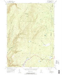
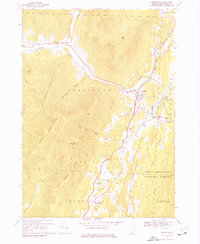
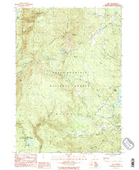
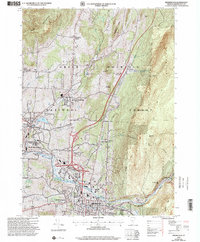
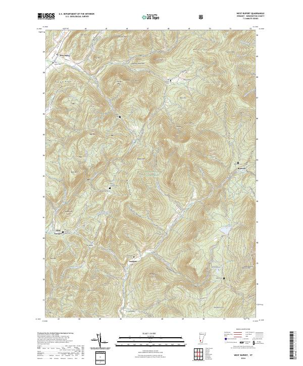
1967 Map of West Rupert
USGS Topo · Published 1972About this map
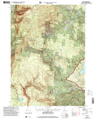
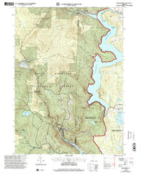
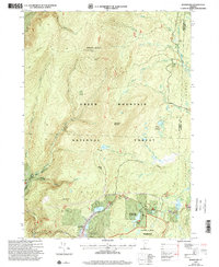
West Rupert and the surrounding Bennington County uplands are defined by a complex network of narrow hollows and steep ridges in the late 1960s. The Delaware and Hudson railroad tracks cut through the northwestern corner near White Creek, while the interior of the quadrangle remains dominated by the Green Mountains' peaks. Settlement is concentrated in small pockets like Sandgate and West Sandgate, connected by winding roads that follow the contours of Bennetts Brook and the Green River.
Find a feature on this map
65 named features on this map. Tap any name to fly to it.
Don’t see what you’re looking for? This feature index may not catch every label — zoom into the map to look around manually.
Map Details
Editions of this 1967 West Rupert Map
This is the sole edition of this map. No revisions or reprints were ever made.
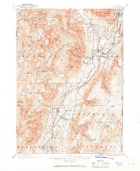
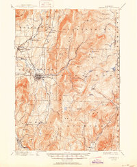
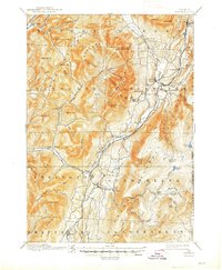
Historical Maps of Manchester Through Time
29 maps found
1894 Equinox
Bennington County, VT

1896 Equinox
Bennington County, VT
1898 Bennington
Bennington County, VT
1900 Equinox
Bennington County, VT
1954 Bennington
Bennington County, VT
1954 Bennington
Bennington County, VT
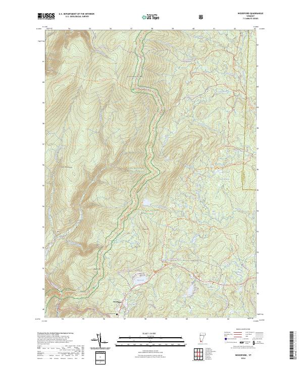
1954 Woodford
Bennington County, VT
1967 Arlington
Bennington County, VT
1967 West Rupert
Bennington County, VT

1968 Manchester
Bennington County, VT

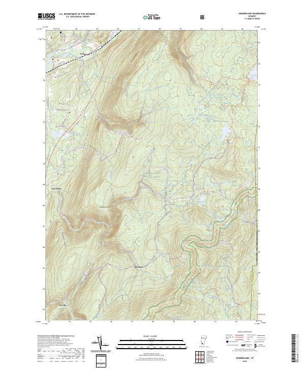
1968 Sunderland
Bennington County, VT
1986 Peru
Bennington County, VT
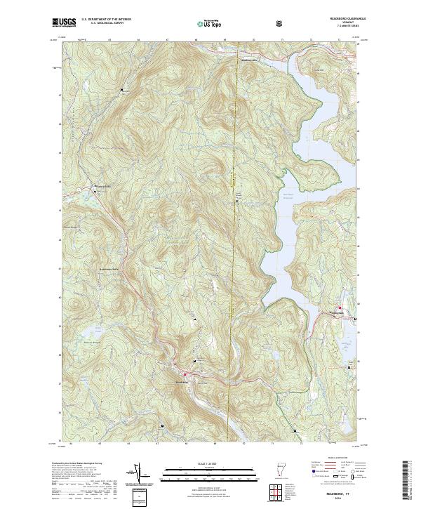
1987 Readsboro
Bennington County, VT
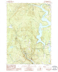
1995 West Rupert
Bennington County, VT
1997 Arlington
Bennington County, VT
1997 Bennington
Bennington County, VT

1997 Manchester
Bennington County, VT
1997 Peru
Bennington County, VT
1997 Readsboro
Bennington County, VT

1997 Sunderland
Bennington County, VT
1997 Woodford
Bennington County, VT
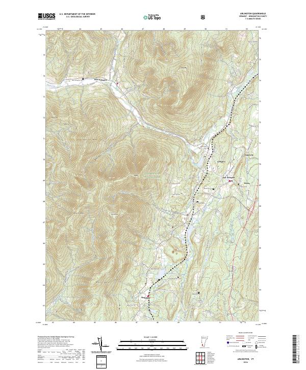
2024 Arlington
Bennington County, VT
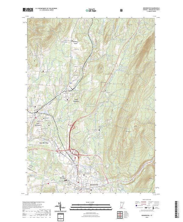
2024 Bennington
Bennington County, VT
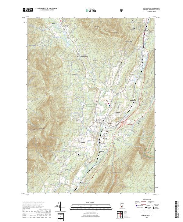
2024 Manchester
Bennington County, VT
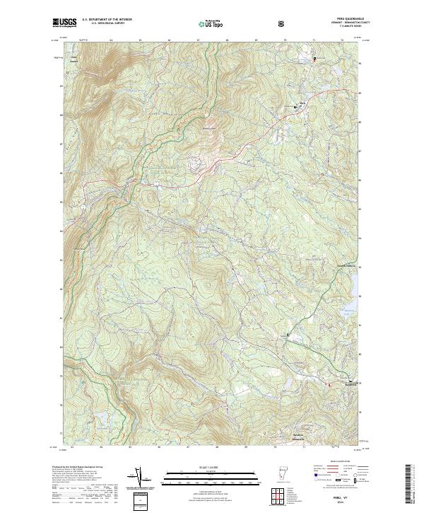
2024 Peru
Bennington County, VT
2024 Readsboro
Bennington County, VT
2024 Sunderland
Bennington County, VT
2024 West Rupert
Bennington County, VT
2024 Woodford
Bennington County, VT