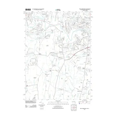
2012 Map of West Springfield
USGS Topo · Published 2012About this map
Provin Mountain and the steep slopes of West Suffield Mountain anchor the western terrain of this Hampden County region, while the Westfield River carves a path through the northern developed corridors. This 2012 survey illustrates the suburban character and infrastructure of communities like Mittineague, North Agawam, and Feeding Hills. Water management is a primary theme of the landscape, evidenced by the Springfield Aqueduct and Provin Mountain Reservoir, which sit amidst a network of smaller streams including Threemile Brook and Tarkill Brook.
Find a feature on this map
277 named features on this map. Tap any name to fly to it.
Don’t see what you’re looking for? This feature index may not catch every label — zoom into the map to look around manually.
Map Details
Editions of this 2012 West Springfield Map
This is the sole edition of this map. No revisions or reprints were ever made.
Other maps of this area

1886 · Springfield
USGS Topo · 1:62,500

1887 · Granville
USGS Topo · 1:62,500

1889 · Springfield
USGS Topo · 1:62,500

1889 · Granville
USGS Topo · 1:62,500

1892 · Hartford
USGS Topo · 1:62,500

1892 · Granby
USGS Topo · 1:62,500

1893 · Springfield
USGS Topo · 1:62,500

1893 · Granville
USGS Topo · 1:62,500

1895 · Springfield
USGS Topo · 1:62,500

1895 · Granville
USGS Topo · 1:62,500