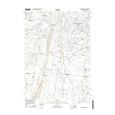
2015 Map of West Springfield
USGS Topo · Published 2015About this map
The Westfield River carves a path through the heart of this Hampden County region, defining the industrial and residential development of West Springfield and Westfield. The landscape is marked by the distinct elevation of Metacomet Ridge and Provin Mtn, which separate the river valley from the upland terrain to the west. This 2015 survey illustrates a densely populated corridor where historical village centers like Mittineague and Riverdale have merged into a continuous suburban fabric.
Find a feature on this map
77 named features on this map. Tap any name to fly to it.
Don’t see what you’re looking for? This feature index may not catch every label — zoom into the map to look around manually.
Map Details
Editions of this 2015 West Springfield Map
This is the sole edition of this map. No revisions or reprints were ever made.
Other maps of this area

1886 · Springfield
USGS Topo · 1:62,500

1887 · Granville
USGS Topo · 1:62,500

1889 · Springfield
USGS Topo · 1:62,500

1889 · Granville
USGS Topo · 1:62,500

1892 · Hartford
USGS Topo · 1:62,500

1892 · Granby
USGS Topo · 1:62,500

1893 · Springfield
USGS Topo · 1:62,500

1893 · Granville
USGS Topo · 1:62,500

1895 · Springfield
USGS Topo · 1:62,500

1895 · Granville
USGS Topo · 1:62,500