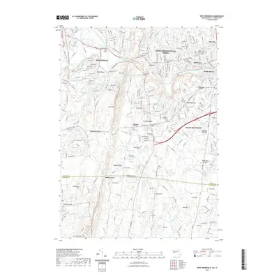
2021 Map of West Springfield
USGS Topo · Published 2021About this map
Westfield and the West Springfield Town area define this 2021 survey of the Pioneer Valley, where the Westfield River cuts through a landscape shaped by glacial ridges. The topography is dominated by the north-south alignment of Provin Mtn and Metacomet Ridge, creating a natural barrier between the industrialized river plains and the uplands near Huckleberry Mtn. This geography long dictated the path of infrastructure like the Springfield Aqueduct and the New England National Scenic Trl.
Find a feature on this map
78 named features on this map. Tap any name to fly to it.
Don’t see what you’re looking for? This feature index may not catch every label — zoom into the map to look around manually.
Map Details
Editions of this 2021 West Springfield Map
This is the sole edition of this map. No revisions or reprints were ever made.
Other maps of this area

1886 · Springfield
USGS Topo · 1:62,500

1887 · Granville
USGS Topo · 1:62,500

1889 · Springfield
USGS Topo · 1:62,500

1889 · Granville
USGS Topo · 1:62,500

1892 · Hartford
USGS Topo · 1:62,500

1892 · Granby
USGS Topo · 1:62,500

1893 · Springfield
USGS Topo · 1:62,500

1893 · Granville
USGS Topo · 1:62,500

1895 · Springfield
USGS Topo · 1:62,500

1895 · Granville
USGS Topo · 1:62,500