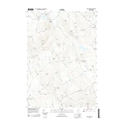
2014 Map of West Sumner
USGS Topo · Published 2014About this map
West Sumner and East Sumner serve as the primary anchors for this Oxford County landscape, where the West Branch Nezinscot River and its various tributaries define the valley settlement patterns. The map reveals a high concentration of family-named cemeteries, such as Stetson Cem, Robinson Cem, and Whittemore Cem, suggesting a long-established rural community where lineage and land are deeply intertwined.
Find a feature on this map
114 named features on this map. Tap any name to fly to it.
Don’t see what you’re looking for? This feature index may not catch every label — zoom into the map to look around manually.
Map Details
Editions of this 2014 West Sumner Map
This is the sole edition of this map. No revisions or reprints were ever made.
Other maps of this area

1896 · Norway
USGS Topo · 1:62,500

1908 · Poland
USGS Topo · 1:62,500

1911 · Bryant Pond
USGS Topo · 1:62,500

1911 · Buckfield
USGS Topo · 1:62,500

1913 · Buckfield
USGS Topo · 1:62,500

1914 · Bryant Pond
USGS Topo · 1:62,500

1940 · Poland
USGS Topo · 1:62,500

1942 · Buckfield
USGS Topo · 1:62,500

1942 · Bryant Pond
USGS Topo · 1:62,500

1942 · Poland
USGS Topo · 1:62,500