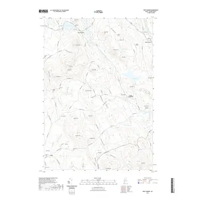
2021 Map of West Sumner
USGS Topo · Published 2021About this map
West Sumner and East Sumner anchor the northern landscape of this Oxford County region, where the West Branch Nezinscot River carves a winding path toward North Buckfield. The terrain is defined by a dense concentration of named heights, including the prominent Streaked Mtn in the south and the cluster of Spruce Hills and Mt Tom further north. This modern survey reflects a deeply rooted rural layout, where historical land use is marked by more than a dozen small burial grounds such as Elmwood Cem and Robinson Cem, often situated near early family settlements and crossroads.
Find a feature on this map
105 named features on this map. Tap any name to fly to it.
Don’t see what you’re looking for? This feature index may not catch every label — zoom into the map to look around manually.
Map Details
Editions of this 2021 West Sumner Map
This is the sole edition of this map. No revisions or reprints were ever made.
Other maps of this area

1896 · Norway
USGS Topo · 1:62,500

1908 · Poland
USGS Topo · 1:62,500

1911 · Bryant Pond
USGS Topo · 1:62,500

1911 · Buckfield
USGS Topo · 1:62,500

1913 · Buckfield
USGS Topo · 1:62,500

1914 · Bryant Pond
USGS Topo · 1:62,500

1940 · Poland
USGS Topo · 1:62,500

1942 · Buckfield
USGS Topo · 1:62,500

1942 · Bryant Pond
USGS Topo · 1:62,500

1942 · Poland
USGS Topo · 1:62,500