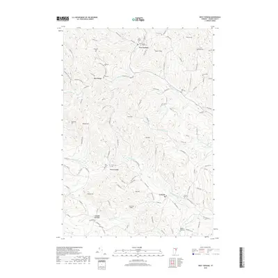
2018 Map of West Topsham
USGS Topo · Published 2018About this map
West Topsham sits at the northern edge of this terrain, where the Waits River flows through a landscape defined by significant ridges and peaks. The map reveals a high density of small burial grounds that reflect the early settlement patterns of Orange County, including the Old West Topsham Cem and several family or church-related sites like Hutchinson Cem and McCrillis Cem. The distribution of these cemeteries alongside quiet crossroads such as East Orange and West Corinth suggests the enduring footprint of small 19th-century farming communities.
Find a feature on this map
110 named features on this map. Tap any name to fly to it.
Don’t see what you’re looking for? This feature index may not catch every label — zoom into the map to look around manually.
Map Details
Editions of this 2018 West Topsham Map
This is the sole edition of this map. No revisions or reprints were ever made.
Other maps of this area

1896 · Strafford
USGS Topo · 1:62,500

1931 · Mt. Cube
USGS Topo · 1:62,500

1931 · Woodsville
USGS Topo · 1:48,000

1933 · Mt. Cube
USGS Topo · 1:62,500

1935 · Woodsville
USGS Topo · 1:62,500

1941 · Woodsville
USGS Topo · 1:62,500

1944 · Strafford
USGS Topo · 1:62,500

1947 · Corinth
USGS Topo · 1:62,500

1948 · East Barre
USGS Topo · 1:62,500

1950 · Glens Falls
USGS Topo · 1:250,000