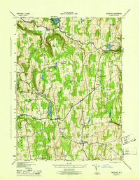
1946 Map of Westerlo
USGS Topo · Published 1946About this map
Helderberg Mountains terrain dominates this 1944 survey area, which was mapped through a collaboration between the U. S. Geological Survey and the Tennessee Valley Authority under the direction of the Corps of Engineers. The landscape is dotted with small agricultural crossroads and hamlets such as East Berne, South Berne, and Westerlo. Numerous one-room schools serve the rural population, including Van Leuvans Sch, School No 11, and School No 7, while family and community history is preserved at Westerlo Cem, Reidsville Cem, and Snyder Cem.
Find a feature on this map
41 named features on this map. Tap any name to fly to it.
Don’t see what you’re looking for? This feature index may not catch every label — zoom into the map to look around manually.
Map Details
Editions of this 1946 Westerlo Map
This is the sole edition of this map. No revisions or reprints were ever made.
Other maps of this area

1893 · Coxsackie
USGS Topo · 1:62,500

1893 · Durham
USGS Topo · 1:62,500

1893 · Albany
USGS Topo · 1:62,500

1894 · Coxsackie
USGS Topo · 1:62,500

1894 · Durham
USGS Topo · 1:62,500

1895 · Albany
USGS Topo · 1:62,500

1898 · Albany
USGS Topo · 1:62,500

1900 · Berne
USGS Topo · 1:62,500

1903 · Berne
USGS Topo · 1:62,500

1927 · Albany
USGS Topo · 1:62,500