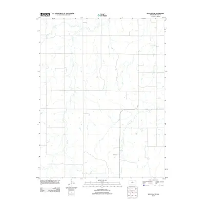
2012 Map of Westfall NW
USGS Topo · Published 2012About this map
Heiser Cem sits along the northern edge of this Kansas landscape, reflecting the long-established agricultural heritage of Lincoln County. The terrain is defined by a dense network of drainage systems, including the meandering paths of Bullfoot Cr and Spring Cr, which carve through the rural acreage. These waterways eventually converge with W Elkhorn Cr in the southern portion of the quadrangle. Modern industrial energy production is a prominent layer of this local history, represented by the Smoky Hills Wind Farm which spans the central and southern hills. The grid-based road system, including the named E Elk Dr, provides a clear view of how rural land divisions and infrastructure have been maintained into the 21st century.
Find a feature on this map
6 named features on this map. Tap any name to fly to it.
Don’t see what you’re looking for? This feature index may not catch every label — zoom into the map to look around manually.
Map Details
Editions of this 2012 Westfall NW Map
This is the sole edition of this map. No revisions or reprints were ever made.
Other maps of this area

1894 · Ellsworth
USGS Topo · 1:125,000

1894 · Beloit
USGS Topo · 1:125,000

1955 · Great Bend
USGS Topo · 1:250,000

1955 · Beloit
USGS Topo · 1:250,000

1957 · Great Bend
USGS Topo · 1:250,000

1957 · Westfall SW
USGS Topo · 1:24,000

1957 · Westfall SE
USGS Topo · 1:24,000

1957 · Black Wolf
USGS Topo · 1:24,000

1958 · Great Bend
USGS Topo · 1:250,000

1959 · Beloit
USGS Topo · 1:250,000