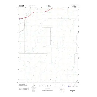
2009 Map of Westfall SE
USGS Topo · Published 2009About this map
Clear Creek Cemetery serves as a primary genealogical landmark in this section of Lincoln County, situated along the east-west corridor of Ave G. The landscape is defined by a dense network of seasonal and perennial waterways that carve through the prairie, including the wandering paths of Clear Creek, Alum Creek, and Table Rock Creek. These streams dictate the layout of the rural road system, which follows a strict township and range grid interrupted only by the natural topography of the creek beds.
Find a feature on this map
20 named features on this map. Tap any name to fly to it.
Don’t see what you’re looking for? This feature index may not catch every label — zoom into the map to look around manually.
Map Details
Editions of this 2009 Westfall SE Map
This is the sole edition of this map. No revisions or reprints were ever made.
Other maps of this area

1892 · Salina
USGS Topo · 1:125,000

1894 · Ellsworth
USGS Topo · 1:125,000

1942 · Salina
USGS Topo · 1:125,000

1955 · Great Bend
USGS Topo · 1:250,000

1955 · Hutchinson
USGS Topo · 1:250,000

1957 · Great Bend
USGS Topo · 1:250,000

1957 · Ellsworth
USGS Topo · 1:24,000

1957 · Westfall SW
USGS Topo · 1:24,000

1957 · Brookville SW
USGS Topo · 1:24,000

1957 · Westfall SE
USGS Topo · 1:24,000