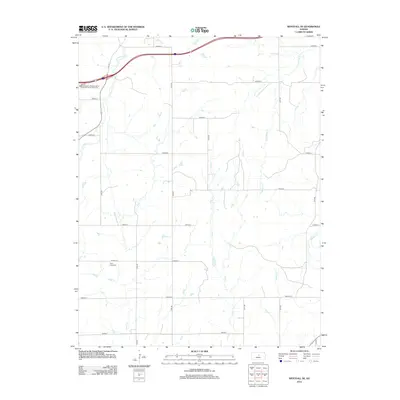
2012 Map of Westfall SE
USGS Topo · Published 2012About this map
Clear Creek Cem sits as a quiet landmark in the southwest portion of this quadrangle, serving as a primary point of interest for genealogists and local historians. The landscape is defined by its dendritic drainage pattern, where several waterways including Clear Cr, Alum Cr, and E Elkhorn Cr carve through the agricultural terrain. This area reflects a highly structured grid of section roads, primarily identified as lettered avenues and numbered roads, illustrating the systematic land division of the Kansas prairie.
Find a feature on this map
24 named features on this map. Tap any name to fly to it.
Don’t see what you’re looking for? This feature index may not catch every label — zoom into the map to look around manually.
Map Details
Editions of this 2012 Westfall SE Map
This is the sole edition of this map. No revisions or reprints were ever made.
Other maps of this area

1892 · Salina
USGS Topo · 1:125,000

1894 · Ellsworth
USGS Topo · 1:125,000

1942 · Salina
USGS Topo · 1:125,000

1955 · Great Bend
USGS Topo · 1:250,000

1955 · Hutchinson
USGS Topo · 1:250,000

1957 · Great Bend
USGS Topo · 1:250,000

1957 · Ellsworth
USGS Topo · 1:24,000

1957 · Westfall SW
USGS Topo · 1:24,000

1957 · Brookville SW
USGS Topo · 1:24,000

1957 · Westfall SE
USGS Topo · 1:24,000