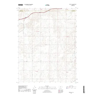
2018 Map of Westfall SE
USGS Topo · Published 2018About this map
The boundary line between Lincoln and Ellsworth Counties runs through this landscape of deep creek valleys and upland drainage basins. In the southwest, the Clear Creek Cem is located near the headwaters of Clear Cr, serving as a significant landmark for local family historians. The terrain is defined by a dendritic network of waterways, including Table Rock Cr and Allum Cr, which have shaped the rolling topography. A systematic grid of section roads, such as 21st Rd and Ave A, divides the land into traditional square-mile townships. This 2018 survey reveals the persistent agricultural and rural character of the region, where the placement of cemeteries and the flow of seasonal creeks like Mulberry Cr and E Elkhorn Cr continue to define the community geography long after the initial settlement period.
Find a feature on this map
32 named features on this map. Tap any name to fly to it.
Don’t see what you’re looking for? This feature index may not catch every label — zoom into the map to look around manually.
Map Details
Editions of this 2018 Westfall SE Map
This is the sole edition of this map. No revisions or reprints were ever made.
Other maps of this area

1892 · Salina
USGS Topo · 1:125,000

1894 · Ellsworth
USGS Topo · 1:125,000

1942 · Salina
USGS Topo · 1:125,000

1955 · Great Bend
USGS Topo · 1:250,000

1955 · Hutchinson
USGS Topo · 1:250,000

1957 · Great Bend
USGS Topo · 1:250,000

1957 · Ellsworth
USGS Topo · 1:24,000

1957 · Westfall SW
USGS Topo · 1:24,000

1957 · Brookville SW
USGS Topo · 1:24,000

1957 · Westfall SE
USGS Topo · 1:24,000