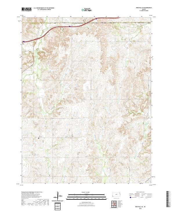
2022 Map of Westfall SE
USGS Topo · Published 2022About this map
The boundary between Lincoln Co and Ellsworth Co cuts across the northern section of this Kansas landscape, where a series of creek drainages define the rolling topography of the Smoky Hills region. In the southwestern reaches, Clear Creek Cem stands as a focal point for genealogical interest, located near the headwaters of Clear Cr. The area is characterized by a dense network of local routes like 21st Rd and Ave G that follow the section lines of the Public Land Survey System. These roads navigate the divides between several named waterways, including Elkhorn Cr in the northwest and the winding path of Alum Cr through the central portion of the quadrangle. The map captures the agricultural rhythm of the plains, where the land is primarily organized by townships such as t14s r7w and t14s r6w, showing the enduring layout of rural Kansas property divisions.
Find a feature on this map
29 named features on this map. Tap any name to fly to it.
Don’t see what you’re looking for? This feature index may not catch every label — zoom into the map to look around manually.
Map Details
Editions of this 2022 Westfall SE Map
This is the sole edition of this map. No revisions or reprints were ever made.
Other maps of this area

1892 · Salina
USGS Topo · 1:125,000

1894 · Ellsworth
USGS Topo · 1:125,000

1942 · Salina
USGS Topo · 1:125,000

1955 · Great Bend
USGS Topo · 1:250,000

1955 · Hutchinson
USGS Topo · 1:250,000

1957 · Great Bend
USGS Topo · 1:250,000

1957 · Ellsworth
USGS Topo · 1:24,000

1957 · Westfall SW
USGS Topo · 1:24,000

1957 · Brookville SW
USGS Topo · 1:24,000

1957 · Westfall SE
USGS Topo · 1:24,000