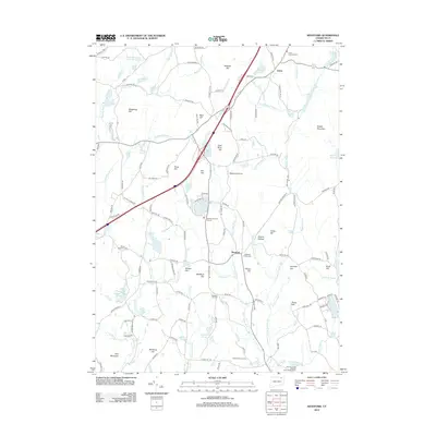
2012 Map of Westford
USGS Topo · Published 2012About this map
Union and Westford anchor this portrait of Tolland County, showing a landscape defined by its high ridges and the winding networks of the Mount Hope River and Fenton River. The terrain is characterized by numerous family-named peaks such as Bald Hill, Snow Hill, and Walker Mountain, reflecting a long history of local landholding. Significant industrial and historical legacies are visible in labels like Lead Mine Hill and Lead Mine Brook, which hint at the mineral extraction that once took place in this corner of Connecticut.
Find a feature on this map
154 named features on this map. Tap any name to fly to it.
Don’t see what you’re looking for? This feature index may not catch every label — zoom into the map to look around manually.
Map Details
Editions of this 2012 Westford Map
This is the sole edition of this map. No revisions or reprints were ever made.
Other maps of this area

1887 · Brookfield
USGS Topo · 1:62,500

1887 · Palmer
USGS Topo · 1:62,500

1889 · Palmer
USGS Topo · 1:62,500

1890 · Brookfield
USGS Topo · 1:62,500

1892 · Woodstock
USGS Topo · 1:62,500

1892 · Tolland
USGS Topo · 1:62,500

1893 · Palmer
USGS Topo · 1:62,500

1893 · Brookfield
USGS Topo · 1:62,500

1908 · Ware
USGS Topo · 1:125,000

1915 · Brookfield
USGS Topo · 1:62,500