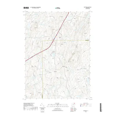
2018 Map of Westford
USGS Topo · Published 2018About this map
Westford and Union anchor this 2018 survey of the borderlands between Tolland and Windham counties. The landscape is defined by its deep hydrography and numerous high points, ranging from the northern Stafford Springs Reservoir Number 2 and Stickney Hill down to the southern peaks of Holt Mtn and Wenberg Hill. Distinctive geological and industrial markers appear in the names of Lead Mine Hill and Lead Mine Brook, while the narrow corridor of Boston Hollow cuts through the terrain east of Westford Hill. Genealogists will find several burial grounds documented, including Westford Village Cem, Swamp Cem, and Moose Meadow Cem. The map illustrates a modern rural infrastructure where recreation and residence cluster around bodies of water like Lake Chaffee, while specialized landmarks such as the Westford Airstrip and numerous ponds like Stowell Pond and Zaicek Pond detail the local topography.
Find a feature on this map
124 named features on this map. Tap any name to fly to it.
Don’t see what you’re looking for? This feature index may not catch every label — zoom into the map to look around manually.
Map Details
Editions of this 2018 Westford Map
This is the sole edition of this map. No revisions or reprints were ever made.
Other maps of this area

1887 · Brookfield
USGS Topo · 1:62,500

1887 · Palmer
USGS Topo · 1:62,500

1889 · Palmer
USGS Topo · 1:62,500

1890 · Brookfield
USGS Topo · 1:62,500

1892 · Woodstock
USGS Topo · 1:62,500

1892 · Tolland
USGS Topo · 1:62,500

1893 · Palmer
USGS Topo · 1:62,500

1893 · Brookfield
USGS Topo · 1:62,500

1908 · Ware
USGS Topo · 1:125,000

1915 · Brookfield
USGS Topo · 1:62,500