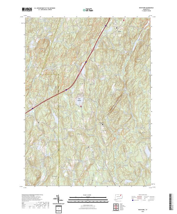
2024 Map of Westford
USGS Topo · Published 2024About this map
The town of Union and the village of Westford anchor this landscape where the Mount Hope River and the Fenton River originate. This contemporary survey details a region defined by its high ridges and narrow valleys, including the distinctive Boston Hollow and several family-named peaks like Stickney Hill and Walker Mtn. The map is particularly useful for genealogists, as it identifies six distinct burial grounds such as Old Union Center Cem and the Westford Hill Cem, documenting the long-standing community centers of the area.
Find a feature on this map
137 named features on this map. Tap any name to fly to it.
Don’t see what you’re looking for? This feature index may not catch every label — zoom into the map to look around manually.
Map Details
Editions of this 2024 Westford Map
This is the sole edition of this map. No revisions or reprints were ever made.
Other maps of this area

1887 · Brookfield
USGS Topo · 1:62,500

1887 · Palmer
USGS Topo · 1:62,500

1889 · Palmer
USGS Topo · 1:62,500

1890 · Brookfield
USGS Topo · 1:62,500

1892 · Woodstock
USGS Topo · 1:62,500

1892 · Tolland
USGS Topo · 1:62,500

1893 · Palmer
USGS Topo · 1:62,500

1893 · Brookfield
USGS Topo · 1:62,500

1908 · Ware
USGS Topo · 1:125,000

1915 · Brookfield
USGS Topo · 1:62,500