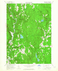
1955 Map of Westhampton
USGS Topo · Published 1965About this map
The Westfield River carves a dramatic path through the hills of Hampshire County in the mid-1950s, dominated by the massive Knightville Dam and the expansive Federal Flood Control Land. This era shows a landscape transitioning from its industrial roots toward conservation and recreation, with established water bodies like Norwich Pond and Pine Island Lake dotting the terrain. The map records several family-named roads and landmarks, including Bryant Road and Bascom Hill, reflecting the deep agricultural and settlement history of the region.
Find a feature on this map
69 named features on this map. Tap any name to fly to it.
Don’t see what you’re looking for? This feature index may not catch every label — zoom into the map to look around manually.
Map Details
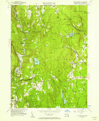
Editions of this 1955 Westhampton Map
2 editions found
Other maps of this area

1885 · Northampton
USGS Topo · 1:62,500

1886 · Springfield
USGS Topo · 1:62,500

1886 · Chesterfield
USGS Topo · 1:62,500

1886 · Northampton
USGS Topo · 1:62,500

1887 · Granville
USGS Topo · 1:62,500

1888 · Chesterfield
USGS Topo · 1:62,500

1889 · Springfield
USGS Topo · 1:62,500

1889 · Granville
USGS Topo · 1:62,500

1891 · Northampton
USGS Topo · 1:62,500

1893 · Northampton
USGS Topo · 1:62,500