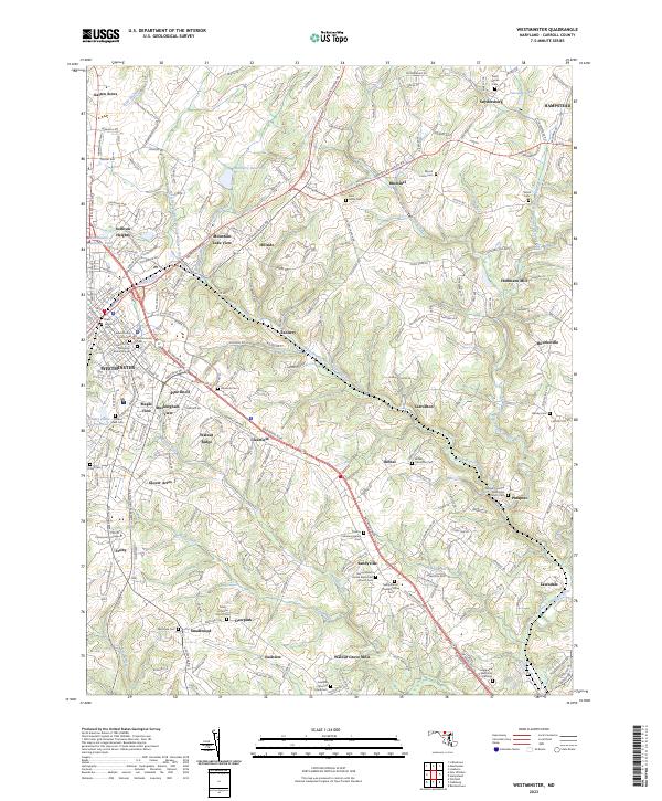
2023 Map of Westminster
USGS Topo · Published 2023About this map
Westminster serves as the regional anchor for this Carroll County landscape, where the Carroll County Courthouse and Carroll Community College reflect its role as a civic and educational hub. The surrounding countryside is defined by the drainage of the North Branch Patapsco River and its various tributaries, including the West Branch North Branch Patapsco River and Roaring Run. Numerous small residential enclaves and historical settlements like Tannery, Patapsco, and Snydersburg are connected by a network of winding local roads and the primary artery of Baltimore Blvd. Genealogists will find a high density of burial sites across the quadrangle, ranging from the large Westminster Cem to smaller church-affiliated locations such as Saint Johns Cem and the Charity Meeting House Cem. This concentration of cemeteries and named mill sites like Walnut Grove Mills points to a long history of settled rural life and water-powered industry.
Find a feature on this map
66 named features on this map. Tap any name to fly to it.
Don’t see what you’re looking for? This feature index may not catch every label — zoom into the map to look around manually.
Map Details
Editions of this 2023 Westminster Map
This is the sole edition of this map. No revisions or reprints were ever made.
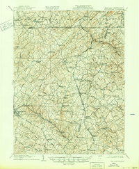
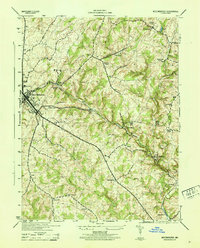
Historical Maps of Velvet Run Through Time
4 maps found