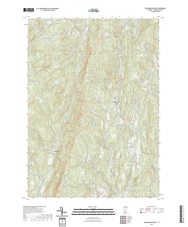
2024 Map of Westminster West
USGS Topo · Published 2024About this map
Westminster West and Brookline anchor this survey of the upland terrain in Windham County. The landscape is defined by significant ridges, including Windmill Mtn and Putney Mtn, which separate the various brook drainage systems. The water network is particularly detailed, showing the courses of Sacketts Brook, Grassy Brook, and Beaver Dam Brook as they carve through the hilly interior.
Find a feature on this map
111 named features on this map. Tap any name to fly to it.
Don’t see what you’re looking for? This feature index may not catch every label — zoom into the map to look around manually.
Map Details
Editions of this 2024 Westminster West Map
This is the sole edition of this map. No revisions or reprints were ever made.
Other maps of this area

1891 · Brattleboro
USGS Topo · 1:62,500

1893 · Brattleboro
USGS Topo · 1:62,500

1898 · Keene
USGS Topo · 1:62,500

1927 · Bellows Falls
USGS Topo · 1:48,000

1930 · Saxtons River
USGS Topo · 1:48,000

1930 · Bellows Falls
USGS Topo · 1:62,500

1932 · Brattleboro
USGS Topo · 1:48,000

1932 · Keene
USGS Topo · 1:62,500

1933 · Saxtons River
USGS Topo · 1:62,500
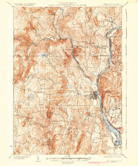
1935 · Brattleboro
USGS Topo · 1:62,500