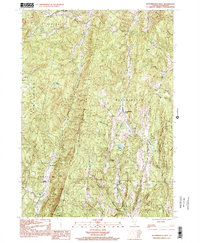
1997 Map of Westminster West
USGS Topo · Published 2001About this map
Windmill Mountain dominates the central vertical spine of this Windham County landscape, acting as a physical divide between the valley settlements of Athens and Westminster West. The terrain is defined by a series of parallel north-south ridges, including Hickory Ridge and Rocky Ridge, which dictate the placement of early roads and small homesteads. Water flows through deeply etched drainages like Hedgehog Brook and Sacketts Brook, collecting in upland basins such as Lily Pond.
Find a feature on this map
26 named features on this map. Tap any name to fly to it.
Don’t see what you’re looking for? This feature index may not catch every label — zoom into the map to look around manually.
Map Details
Editions of this 1997 Westminster West Map
This is the sole edition of this map. No revisions or reprints were ever made.
Other maps of this area
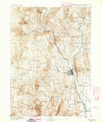
1891 · Brattleboro
USGS Topo · 1:62,500
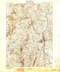
1893 · Brattleboro
USGS Topo · 1:62,500
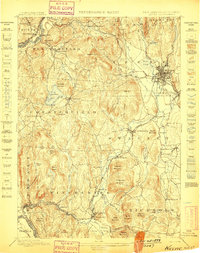
1898 · Keene
USGS Topo · 1:62,500
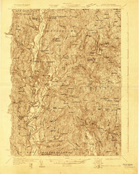
1927 · Bellows Falls
USGS Topo · 1:48,000
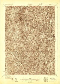
1930 · Saxtons River
USGS Topo · 1:48,000
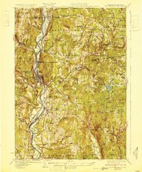
1930 · Bellows Falls
USGS Topo · 1:62,500
1932 · Brattleboro
USGS Topo · 1:48,000
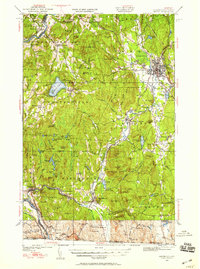
1932 · Keene
USGS Topo · 1:62,500
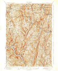
1933 · Saxtons River
USGS Topo · 1:62,500
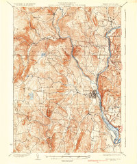
1935 · Brattleboro
USGS Topo · 1:62,500