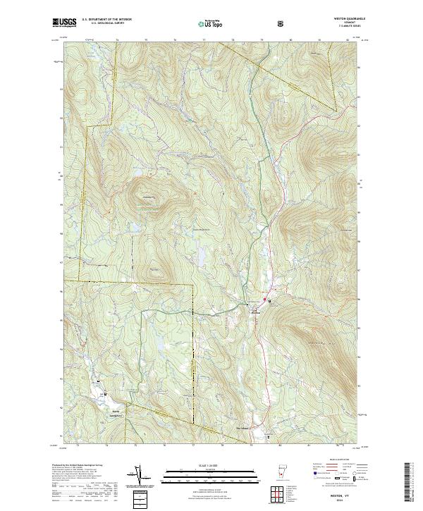
2024 Map of Weston
USGS Topo · Published 2024About this map
Weston serves as the central hub of this Green Mountain landscape, where the West River winds through the valley floor. The map highlights the intersection of local history and the environment, documenting several burial grounds including Forefathers Cem and Maple Grove Cem. The village's importance as a community center is evident in the concentration of residential and civic labels near the Po, while the surrounding hills are defined by rugged peaks such as Terrible Mtn and Peabody Hill.
Find a feature on this map
87 named features on this map. Tap any name to fly to it.
Don’t see what you’re looking for? This feature index may not catch every label — zoom into the map to look around manually.
Map Details
Editions of this 2024 Weston Map
This is the sole edition of this map. No revisions or reprints were ever made.
Other maps of this area

1893 · Wallingford
USGS Topo · 1:62,500

1894 · Londonderry
USGS Topo · 1:62,500

1899 · Londonderry
USGS Topo · 1:62,500

1928 · Ludlow
USGS Topo · 1:48,000

1929 · Ludlow
USGS Topo · 1:62,500

1930 · Saxtons River
USGS Topo · 1:48,000

1932 · Ludlow
USGS Topo · 1:62,500

1933 · Saxtons River
USGS Topo · 1:62,500

1950 · Glens Falls
USGS Topo · 1:250,000

1955 · Wallingford
USGS Topo · 1:62,500