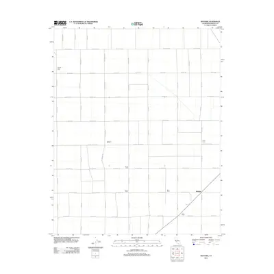
2012 Map of Westside
USGS Topo · Published 2012About this map
Agricultural operations and expansive ranch lands define this portion of Fresno County in the early 21st century. The landscape is organized by a precise grid of roads, including S Sonoma Ave and W Elkhorn Ave, which facilitate the movement of goods from the various named agricultural estates. Prominent landholdings such as Vista del Llano Farms and Harnish Ranch represent the legacy of large-scale farming in the San Joaquin Valley. The namesake settlement of Westside serves as a focal point near the junction of E Grand Ave and the regional highway system. Other family-named properties like O'Neill Ranch, Baker Ranch, and Wilson Ranch are distributed throughout the quadrangle, illustrating the decentralized yet industrious nature of this rural environment during this period of California's modern farming history.
Find a feature on this map
25 named features on this map. Tap any name to fly to it.
Don’t see what you’re looking for? This feature index may not catch every label — zoom into the map to look around manually.
Map Details
Editions of this 2012 Westside Map
This is the sole edition of this map. No revisions or reprints were ever made.
Other maps of this area

1912 · Coalinga
USGS Topo · 1:125,000

1923 · Englebrecht Ranch
USGS Topo · 1:31,680

1925 · Helm
USGS Topo · 1:31,680

1925 · San Joaquin
USGS Topo · 1:31,680

1928 · Delta Farms No 3
USGS Topo · 1:31,680

1931 · Wheatville
USGS Topo · 1:31,680

1931 · Towne Oil Station
USGS Topo · 1:31,680

1931 · Mouth of Cantua Creek
USGS Topo · 1:31,680

1932 · Delta Farms
USGS Topo · 1:31,680

1932 · West of Lethent
USGS Topo · 1:31,680