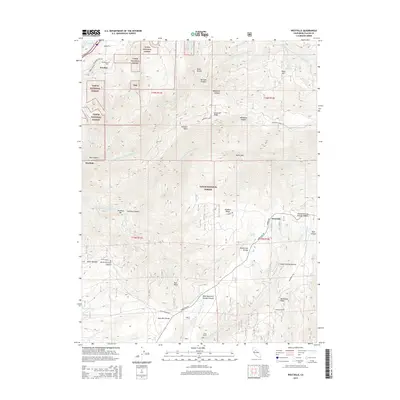
2015 Map of Westville
USGS Topo · Published 2015About this map
The Tahoe National Forest dominates this landscape in Placer County, where the topography is defined by the deep incisions of the North Fork American River and its various tributaries. This 2015 survey reveals the complex water-management infrastructure characteristic of California's gold country, including the China Wall Iowa Hill Ditch and the Breeze and Wheeler Ditch. These historical water systems once fueled hydraulic mining and irrigation throughout the region.
Find a feature on this map
222 named features on this map. Tap any name to fly to it.
Don’t see what you’re looking for? This feature index may not catch every label — zoom into the map to look around manually.
Map Details
Editions of this 2015 Westville Map
This is the sole edition of this map. No revisions or reprints were ever made.
Other maps of this area

1891 · Colfax
USGS Topo · 1:125,000

1892 · Colfax
USGS Topo · 1:125,000

1894 · Colfax
USGS Topo · 1:125,000

1898 · Colfax
USGS Topo · 1:125,000

1900 · Colfax
USGS Topo · 1:125,000

1902 · Colfax
USGS Topo · 1:125,000

1938 · Colfax
USGS Topo · 1:125,000
1948 · Foresthill
USGS Topo · 1:24,000
1949 · Foresthill
USGS Topo · 1:24,000
1950 · Colfax
USGS Topo · 1:62,500