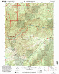
2000 Map of Westville
USGS Topo · Published 2003About this map
Tahoe National Forest dominates this California landscape, where the steep canyons of the North Fork American River shaped the mining and logging history of Placer and El Dorado counties. This 2000 revision reveals a geography defined by subterranean gold exploration, featuring an extensive network of tunnels such as the Mountain Gate Tunnel, Alameda Tunnel, and Cape Horn Tunnel. While many former townsites are marked as historic locations, including Spring Westville (Site) and Damascus (Site), the map also reflects modern forestry and recreation management through the Giant Sequoia Plantation and the China Wall Staging Area. The transition from old ranching outposts like Elliot Ranch to established forest roads like Foresthill Divide Road illustrates the long-term evolution of access into these high ridges and deep river bars.
Find a feature on this map
69 named features on this map. Tap any name to fly to it.
Don’t see what you’re looking for? This feature index may not catch every label — zoom into the map to look around manually.
Map Details
Editions of this 2000 Westville Map
This is the sole edition of this map. No revisions or reprints were ever made.
Other maps of this area

1891 · Colfax
USGS Topo · 1:125,000

1892 · Colfax
USGS Topo · 1:125,000

1894 · Colfax
USGS Topo · 1:125,000

1898 · Colfax
USGS Topo · 1:125,000

1900 · Colfax
USGS Topo · 1:125,000

1902 · Colfax
USGS Topo · 1:125,000

1938 · Colfax
USGS Topo · 1:125,000
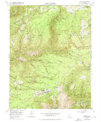
1948 · Foresthill
USGS Topo · 1:24,000
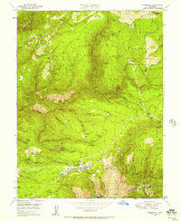
1949 · Foresthill
USGS Topo · 1:24,000
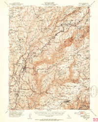
1950 · Colfax
USGS Topo · 1:62,500