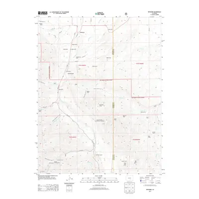
2013 Map of Wetmore
USGS Topo · Published 2013About this map
Wetmore and Greenwood anchor the northern landscape of this region, where the high plains meet the eastern slopes of the San Isabel National Forest. The map documents a complex drainage system defined by numerous gulches and canyons, including Tennant Gulch, Watson Gulch, and the deep Rushmer Canyon. This topography is shaped by the presence of S Hardscrabble Cr and Middle-Red Cr Soda Gulch, showing a territory where water management and access were primary drivers of early road development.
Find a feature on this map
63 named features on this map. Tap any name to fly to it.
Don’t see what you’re looking for? This feature index may not catch every label — zoom into the map to look around manually.
Map Details
Editions of this 2013 Wetmore Map
This is the sole edition of this map. No revisions or reprints were ever made.
Other maps of this area

1889 · Canon City
USGS Topo · 1:125,000

1891 · Pueblo
USGS Topo · 1:125,000

1892 · Canon City
USGS Topo · 1:125,000

1894 · Pueblo
USGS Topo · 1:125,000

1896 · Pueblo
USGS Topo · 1:125,000

1897 · Pueblo
USGS Topo · 1:125,000

1954 · Pueblo
USGS Topo · 1:250,000

1957 · Pueblo
USGS Topo · 1:250,000

1958 · Pueblo
USGS Topo · 1:250,000

1959 · Rockvale
USGS Topo · 1:24,000