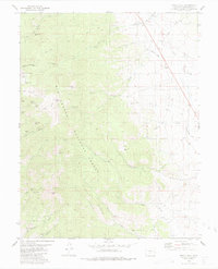
1980 Map of Whale Hill
USGS Topo · Published 1983About this map
Rio Grande National Forest encompasses a landscape defined by an intensive history of hard-rock mining and drainage systems. This 1980s record reveals a complex network of claims and extractors clustered around landmarks like Whale Hill and Mount Manitou. The concentration of mining activity is particularly dense along Rawley Gulch and Michigan Gulch, where operations such as the Rainbow Mine and Manitou Sunlight Mine once sought mineral wealth.
Find a feature on this map
45 named features on this map. Tap any name to fly to it.
Don’t see what you’re looking for? This feature index may not catch every label — zoom into the map to look around manually.
Map Details
Editions of this 1980 Whale Hill Map
2 editions found
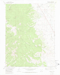
Other maps of this area

1954 · Pueblo
USGS Topo · 1:250,000

1956 · Montrose
USGS Topo · 1:250,000

1957 · Pueblo
USGS Topo · 1:250,000

1958 · Pueblo
USGS Topo · 1:250,000

1959 · Montrose
USGS Topo · 1:250,000

1959 · Bonanza
USGS Topo · 1:62,500

1959 · Howard
USGS Topo · 1:62,500

1960 · Montrose
USGS Topo · 1:250,000

1962 · Pueblo
USGS Topo · 1:250,000

1966 · Pueblo
USGS Topo · 1:250,000