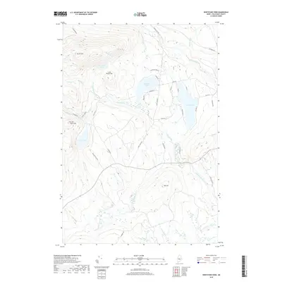
2018 Map of Whetstone Pond
USGS Topo · Published 2018About this map
Whetstone Pond and Piper Pond dominate this Piscataquis County landscape, where the terrain rises sharply toward Russell Mtn and Little Russell Mtn in the northwest. The drainage patterns of the central highlands are defined by numerous seasonal flows including Punchbowl Brook and Thorn Brook, which feed into the larger basins. Significant elevation changes are marked by Foster Hill and Oak Hill, overlooking the southern water systems of Kingsbury Stream and Carlton Stream.
Find a feature on this map
46 named features on this map. Tap any name to fly to it.
Don’t see what you’re looking for? This feature index may not catch every label — zoom into the map to look around manually.
Map Details
Editions of this 2018 Whetstone Pond Map
This is the sole edition of this map. No revisions or reprints were ever made.
Other maps of this area

1933 · Guilford
USGS Topo · 1:62,500

1937 · Guilford
USGS Topo · 1:62,500

1948 · Kingsbury
USGS Topo · 1:62,500

1950 · Kingsbury
USGS Topo · 1:62,500

1950 · Sebec Lake
USGS Topo · 1:62,500

1951 · Greenville
USGS Topo · 1:62,500

1954 · Millinocket
USGS Topo · 1:250,000

1958 · Millinocket
USGS Topo · 1:250,000

1960 · Millinocket
USGS Topo · 1:250,000

1975 · Kingsbury NE
USGS Topo · 1:24,000