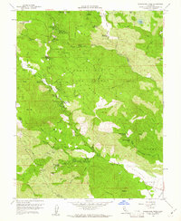
1958 Map of Whispering Pines
USGS Topo · Published 1961About this map
Boggs Mountain State Forest and the Mayacmas Mountains dominate this 1950s landscape, a region defined by its diverse thermal springs and mid-century resort culture. The map reveals a cluster of settlements and health retreats including Hobergs, Adams, Whispering Pines, and Anderson Springs. This concentration of springs, including Ettawa Springs and Harbin Springs, highlights the area's importance as a destination for mineral water and recreation.
Find a feature on this map
63 named features on this map. Tap any name to fly to it.
Don’t see what you’re looking for? This feature index may not catch every label — zoom into the map to look around manually.
Map Details
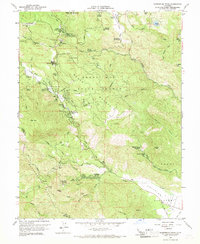
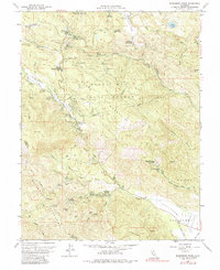
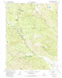
Editions of this 1958 Whispering Pines Map
4 editions found
Other maps of this area

1920 · Healdsburg
USGS Topo · 1:62,500

1921 · Kelseyville
USGS Topo · 1:62,500

1927 · Calistoga
USGS Topo · 1:62,500

1933 · Healdsburg
USGS Topo · 1:48,000

1940 · Healdsburg
USGS Topo · 1:62,500

1943 · Calistoga
USGS Topo · 1:62,500

1943 · Kelseyville
USGS Topo · 1:62,500

1945 · Calistoga
USGS Topo · 1:62,500

1945 · Lower Lake
USGS Topo · 1:62,500

1947 · Santa Rosa
USGS Topo · 1:250,000