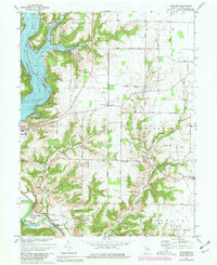
1974 Map of Whitcomb
USGS Topo · Published 1981About this map
Brookville Lake dominates the western landscape of this 1970s survey, representing a significant transformation of the Whitewater River valley for flood control and recreation. The creation of the Mounds State Recreation Area and various boat ramps highlights the shift toward a leisure-focused economy, yet the map still preserves the older rural footprint of Franklin County. Settled points like Whitcomb and Mount Carmel anchor the interior, connected by a network of local thoroughfares such as Hetrick Road and Whitcomb Road.
Find a feature on this map
47 named features on this map. Tap any name to fly to it.
Don’t see what you’re looking for? This feature index may not catch every label — zoom into the map to look around manually.
Map Details
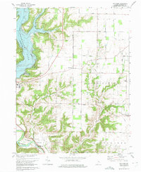
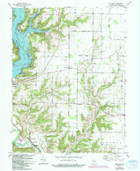
Editions of this 1974 Whitcomb Map
Other maps of this area

1915 · College Corner
USGS Topo · 1:48,000

1915 · Harrison
USGS Topo · 1:48,000

1918 · College Corner
USGS Topo · 1:62,500

1948 · Fairfield
USGS Topo · 1:24,000

1953 · Cincinnati
USGS Topo · 1:250,000

1955 · Harrison
USGS Topo · 1:24,000

1955 · Reily
USGS Topo · 1:24,000

1955 · Mount Carmel
USGS Topo · 1:24,000
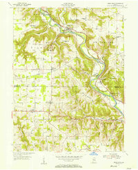
1955 · Cedar Grove
USGS Topo · 1:24,000

1956 · Everton
USGS Topo · 1:24,000