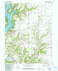
1974 Map of Whitcomb
USGS Topo · Published 1994About this map
Brookville Lake dominates the western portion of this mid-1970s landscape, having fundamentally altered the valley of the Whitewater River. The map shows a region in transition, where the creation of the reservoir brought about the Mounds State Recreation Area and landmarks like the Orschell Overlook, while the surrounding hills remain dotted with traditional Hoosier settlements. Genealogists and local historians will find significant detail in the rural townships of Springfield and Whitewater, where older road networks like Reily Pike and Squire Road connect small communities. Notable sites include the Little Cedar Grove Ch near Mound Haven and the Big Cedar Ch further north. The map also records several family burial sites, including James Cem and Mount Carmel Cem, alongside vestiges of local infrastructure like the Township Sch.
Find a feature on this map
43 named features on this map. Tap any name to fly to it.
Don’t see what you’re looking for? This feature index may not catch every label — zoom into the map to look around manually.
Map Details
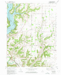
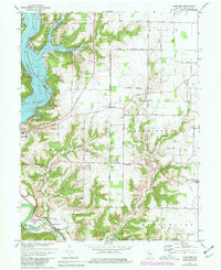
Editions of this 1974 Whitcomb Map
Other maps of this area

1915 · College Corner
USGS Topo · 1:48,000

1915 · Harrison
USGS Topo · 1:48,000

1918 · College Corner
USGS Topo · 1:62,500

1948 · Fairfield
USGS Topo · 1:24,000

1953 · Cincinnati
USGS Topo · 1:250,000

1955 · Harrison
USGS Topo · 1:24,000

1955 · Reily
USGS Topo · 1:24,000

1955 · Mount Carmel
USGS Topo · 1:24,000
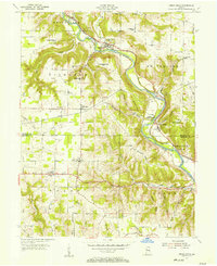
1955 · Cedar Grove
USGS Topo · 1:24,000

1956 · Everton
USGS Topo · 1:24,000