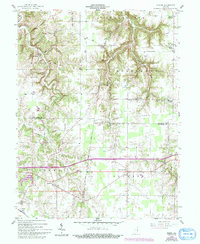
1958 Map of Spades
USGS Topo · Published 1993About this map
The Greenville Treaty Line cuts diagonally across this landscape, serving as a historic surveyor's boundary that defines the local property and township alignments. This 1958 survey, updated with revisions through the early 1990s, documents a rural Indiana interior where small community centers like Lawrenceville and Penntown anchor a network of country roads. Numerous religious and social landmarks are scattered throughout the territory, including St Peters Ch, Trinity Ch, and the Freewill Sch, reflecting a long-standing pattern of parish-based settlement. The terrain is deeply incised by waterways like Pipe Creek and the East Fork Tanners Creek, which dictate the winding paths of the local routes. Transportation is anchored in the south by the Conrail rail line passing through the namesake hamlet of Spades, while smaller crossroads like Klemmes Corner and Youngs Corner mark the intersections of the upland farm country.
Find a feature on this map
34 named features on this map. Tap any name to fly to it.
Don’t see what you’re looking for? This feature index may not catch every label — zoom into the map to look around manually.
Map Details
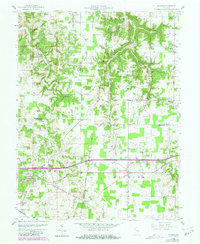
Editions of this 1958 Spades Map
3 editions found

Other maps of this area

1915 · Lawrenceburg
USGS Topo · 1:48,000

1915 · Harrison
USGS Topo · 1:48,000

1928 · Lawrenceburg
USGS Topo · 1:62,500

1932 · Lawrenceburg
USGS Topo · 1:62,500

1943 · Guilford
USGS Topo · 1:24,000

1946 · Pierceville
USGS Topo · 1:24,000

1946 · Batesville
USGS Topo · 1:24,000

1953 · Guilford
USGS Topo · 1:24,000

1953 · Cincinnati
USGS Topo · 1:250,000

1955 · Mount Carmel
USGS Topo · 1:24,000