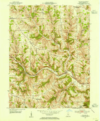
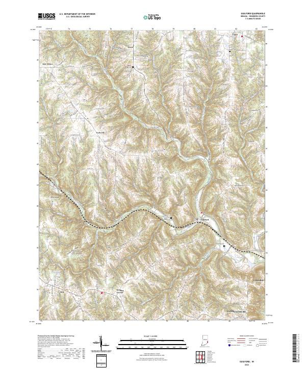
1953 Map of Guilford
USGS Topo · Published 1955About this map
Guilford sits at the convergence of several major drainages, including the West Fork and Tanners Creek, where the New York Central railroad tracks navigate the deeply dissected landscape of Dearborn County. The terrain is characterized by a series of prominent ridges, most notably Sawdon Ridge and York Ridge, which separate the various forks of the creek system. Small agricultural and crossroads communities such as Dover, Yorkville, and New Alsace are scattered across the higher ground, often centered around local institutions like St Johns Ch or Mt Pleasant Ch.
Find a feature on this map
47 named features on this map. Tap any name to fly to it.
Don’t see what you’re looking for? This feature index may not catch every label — zoom into the map to look around manually.
Map Details
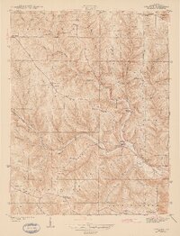
Editions of this 1953 Guilford Map
This is the sole edition of this map. No revisions or reprints were ever made.
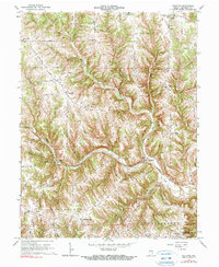
Historical Maps of Lawrenceburg Through Time
8 maps found
Featured Locations
- Miller Township, IN
- Kelso Township, IN
- Manchester Township, IN
- Logan, Logan Township
- Lawrenceburg, Lawrenceburg Township