
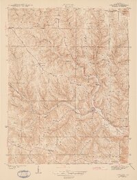
1943 Map of Guilford
USGS Topo · Published 1943About this map
Tanners Creek carves a deep valley through the dissected uplands of Dearborn County, dictating the settlement patterns and transport routes of the early 1940s. The village of Guilford sits at the confluence of West Fork Creek and East Fork Creek, serving as a central hub for the surrounding ridges. Higher ground is defined by a series of named landforms such as Sawdon Ridge and Miller Ridge, which hosted the area's agricultural life and historic community centers. Genealogists can identify several rural institutions, including Collier Sch and Pelley Sch, along with numerous houses of worship like St Johns Ch and St Martins Ch. The landscape is etched with local history, from the Yorkville Pike to family-named landmarks like Logan Cem and Mc Cracken Cem, reflecting the deep-rooted community structure of Kelso and York townships before modern development shifted these rural patterns.
Find a feature on this map
45 named features on this map. Tap any name to fly to it.
Don’t see what you’re looking for? This feature index may not catch every label — zoom into the map to look around manually.
Map Details
Editions of this 1943 Guilford Map
2 editions found
Other maps of this area

1915 · Lawrenceburg
USGS Topo · 1:48,000

1915 · Harrison
USGS Topo · 1:48,000

1928 · Lawrenceburg
USGS Topo · 1:62,500

1932 · Lawrenceburg
USGS Topo · 1:62,500

1943 · Aurora
USGS Topo · 1:24,000

1943 · Hooven
USGS Topo · 1:24,000

1943 · Lawrenceburg
USGS Topo · 1:24,000

1953 · Aurora
USGS Topo · 1:24,000

1953 · Guilford
USGS Topo · 1:24,000

1953 · Cincinnati
USGS Topo · 1:250,000