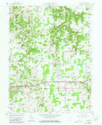
1958 Map of Spades
USGS Topo · Published 1981About this map
Old Indian Boundary Treaty Line cuts diagonally across the northern landscape, serving as a historical surveyor's mark that predates the standard section lines. The rural character of Franklin, Ripley, and Dearborn counties is defined by small crossroads settlements like Klemmes Corner and St Marys, where life centered around local parishes. Several country churches, including St Peters Ch and St Stephens Ch, highlight the community clusters established by early 19th-century settlers. In the southern portion of the quadrangle, the community of Spades sits along the Conrail line, reflecting the rail-driven commerce of the era. The terrain is deeply etched by waterways such as Blue Creek and East Fork Tanners Creek, which dictated the winding paths of local roads before the construction of modern bypasses.
Find a feature on this map
36 named features on this map. Tap any name to fly to it.
Don’t see what you’re looking for? This feature index may not catch every label — zoom into the map to look around manually.
Map Details
Editions of this 1958 Spades Map
3 editions found

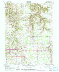
Other maps of this area

1915 · Lawrenceburg
USGS Topo · 1:48,000

1915 · Harrison
USGS Topo · 1:48,000

1928 · Lawrenceburg
USGS Topo · 1:62,500

1932 · Lawrenceburg
USGS Topo · 1:62,500

1943 · Guilford
USGS Topo · 1:24,000

1946 · Pierceville
USGS Topo · 1:24,000

1946 · Batesville
USGS Topo · 1:24,000

1953 · Guilford
USGS Topo · 1:24,000

1953 · Cincinnati
USGS Topo · 1:250,000

1955 · Mount Carmel
USGS Topo · 1:24,000